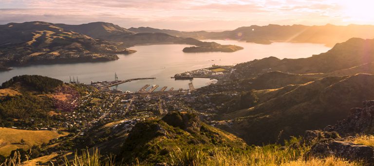
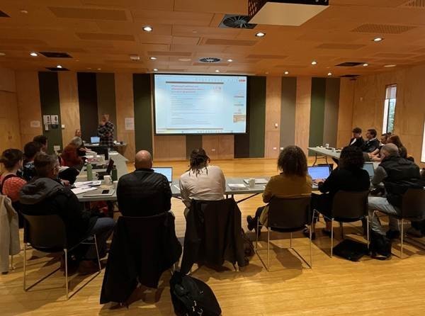
Treaty partners, stakeholders, technical experts and community representatives gathered for a hui focused on the Whaka-Ora Healthy Harbour Catchment Management Plan – an initiative aimed at restoring and protecting the ecological health of Whakaraupō/Lyttelton Harbour.
A key focus was understanding the range of tools and intelligence available to examine the source and impact of sediment and erosion on the harbour, with presentations by experts from the University of Canterbury, University of Otago, Collaborations, Kea Aerospace, and DHI Group.
The hui allowed participants to reflect on progress, share insights, and reaffirm the shared vision for a resilient harbour environment.
Johannes Welsch, senior manager for the Whaka-Ora partnership on behalf of Environment Canterbury, said of the hui,
“The ability to bring so much passion for and knowledge of the landscape into the same room, all focused on a clear vision, is a real strength of this partnership.”
Johannes Welsch
The group discussed some exciting projects that will have a positive impact on Whakaraupō/Lyttelton Harbour.
Maps to show sediment and erosion sources
Dr Gareth Taylor from Collaborations presented the consultancy’s plan to develop erosion risk maps for Te Pātaka o Rākaihautū/Banks Peninsula, created with the help of Christchurch City Council and Environment Canterbury. Using the Granular method – which incorporates peer-reviewed science, environmental data, and high-resolution LiDAR (light detection and ranging) – Collaborations will map surface erosion at a 1-5m² scale and identify critical sediment source areas.
Gareth said, “Identifying erosion risk is the first step to working with landowners to reduce erosion.”
A team of researchers at the University of Canterbury has been conducting erosion and sediment research in Whakaraupō since 2020. Research results from 4 Whaka-Ora Healthy Harbour-funded MSc students and over 30 undergraduate Frontiers Abroad projects include a new sea-floor map of legacy sediment and the first Whakaraupō erosion hot spot map of the catchment. The model incorporates metre-scale LiDAR data as well as a newly developed high-resolution soil erosivity map of the area. By March 2026, sea-floor sediment and erosional hot spot maps will be completed across the entire upper harbour catchment.
Monitoring coastal water quality from space
Kea Aerospace has partnered with NASA to use a solar-powered stratospheric plane to observe the coastal area around Te Waihora/Lake Ellesmere. The aircraft is a lot closer to the Earth’s surface than satellites and can therefore achieve a much higher resolution, which means Kea Aerospace can see more detail than ever before and monitor areas of interest.
Scenario tool developed
The team at DHI have created the Coastal Receiving Environment Scenario Tool (CREST), which is a digital scenario management system. Ben Tuckey, principal marine scientist from DHI, explained that CREST can be used to view the link between source and sink of contaminants for an estuary/harbour, run what-if scenarios, and interrogate full spatial and temporal model results from contaminant fate models. DHI is configuring the tool to be used in the Whakaraupō setting.
Understanding species habitats on the peninsula
The University of Otago Marine Mapping group, led by Dr Matthew Desmond, has developed habitat and species distribution models, employing a range of approaches including towed video, drop cameras, and baited underwater video to build our understanding of what is where. This allowed the team to establish relationships between habitat types/species and the physical and environmental features that control their distribution.
Three main goals
The Whaka-Ora partnership has three objectives: restore Whakaraupō/Lyttelton Harbour to an environment that is abundant, healthy, and interconnected.
You can learn more about how we are achieving these goals in our plan.